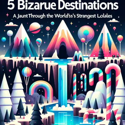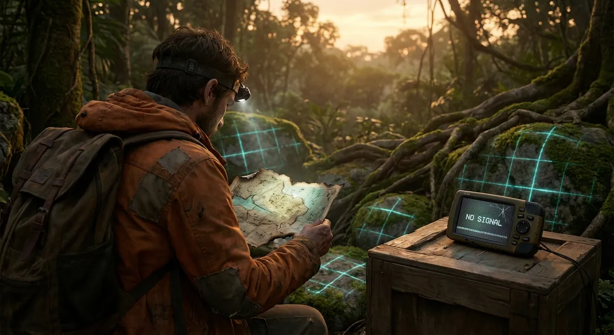
Some places don’t want to be found. They scramble GPS signals, hide behind fake names, or sit in landscapes so strange your brain keeps insisting they’re not real. These are the locations that feel more like glitches in a navigation app than actual entries on a map—and they’re exactly the kind of territory No Way Travel lives for.
This isn’t about “quirky neighborhoods” or “unusual cafés.” These are landscapes that misbehave: disappearing islands, doors under cities, and deserts full of skeletons and cosmic metal. Pack curiosity, humility, and a suspicious attitude toward maps—you’re going to need all three.
The Island That Keeps Dying and Coming Back: Bermeja, Mexico (Sort Of)
On historical maps, just off Mexico’s Yucatán coast, there’s an island called Bermeja. Modern satellite images? Nothing. Sonar sweeps? Empty. Conspiracy theories? Plenty.
Some Mexican maps from the 16th century show Bermeja lounging comfortably in the Gulf of Mexico—a reddish island said to be low-lying and unremarkable. Then, sometime between the era of galleons and Google Earth, it ghosted humanity. By the late 20th century, Mexico tried to use Bermeja as a strategic reference point in oil negotiations with the U.S., only to discover that the island… no longer seemed to exist.
So what happened?
- One theory: It eroded away or sank beneath rising seas and shifting seafloor.
- Another: Early cartographers were just wrong—or copied mistakes from previous maps.
- Spicier explanations: Government cover-ups, island “erasure” for resource deals, or deliberate mis-mapping to confuse enemies.
Why it’s a wild “destination” for travelers: you can’t step on Bermeja, but you can chase it. Charter a boat out of the Yucatán, sail into maps-that-lie territory, and float over coordinates where an island allegedly died. You’re visiting an absence, a missing tooth in the planet’s grin.
If you go, treat it like a sea pilgrimage. Bring old nautical charts, modern GPS, and a willingness to sit in silence on the deck while the captain shrugs and the horizon refuses to explain itself.
The Underground Door to Someone Else’s City: Derinkuyu’s Deeper Layers, Türkiye
Tourists know that Cappadocia, Türkiye, has underground cities. But most people hit a guided tour, snap a photo of some tunnels, and head back to cave hotels and hot-air balloons. That’s like visiting the ocean and never getting your feet wet.
Derinkuyu is an underground city that drops about 85 meters (280 feet) below the surface—a honeycomb of air shafts, chapels, kitchens, stables, schools, and stone doors that could seal entire levels from invaders. It once sheltered thousands of people from war, raids, and religious persecution. But here’s the weird part: we still don’t entirely know who carved the first layers, or when, or how many ghost-levels might still be buried.
Archaeologists have theories: Phrygians, early Christians, Byzantine-era expansion. But among local guides and locals, you’ll hear more unsettling rumors—sealed passages that lead to other underground cities, unexplored tunnels that stretch under modern homes, “bad air” pockets that make explorers sick, and carved spaces that suggest deeper, darker layers still sealed off.
How to experience the weirdness, not just the tourist circuit:
- Take the standard entrance tour, then stay in the region longer than everyone else.
- Talk to locals running family pensions; ask about older, less-visited underground spots.
- Visit smaller towns where private landowners have accidentally broken into unknown tunnels under their houses.
- Be ready for dead ends: locked iron gates, blocked passages, and stories that trail off into “We don’t go there.”
In Derinkuyu’s shadows, you feel civilization’s backup plan: a vertical escape hatch carved directly into the rock. It’s not just an attraction—it’s a reminder that every peaceful town might be sitting on a stacked, subterranean history of fear.
The Skeleton Desert: Namibia’s Shipwreck Coast That Eats Metal
There are beaches where you pick up shells. Then there’s Namibia’s Skeleton Coast, where you pick up vertebrae and rusted ship ribs.
Named for whale bones and shipwrecks that once littered the shore, the Skeleton Coast is an Atlantic collision zone where fog, cold currents, and brutal surf gang up on anything that dares come close. Sailors used to call it “The Land God Made in Anger.” Looking at satellite images—vast dunes collapsing into churning sea—you kind of get the point.
What makes it so weird:
- Shipwreck graveyards: Vessels stranded in the sand, sometimes miles from the current shore, stranded by shifting dunes and sea levels.
- Fog deserts: The coastal Namib desert drinks water not from rain, but from fog rolling in off the ocean.
- Bones everywhere: Whale bones, seal bones, scattered remnants from massive historical whaling operations.
- Ghost settlements: Abandoned diamond-mining camps and derelict structures slowly being swallowed by sand.
Travel here doesn’t feel like a vacation; it feels like trespassing in a struggle between ocean and desert—where humans are the least equipped species in sight. Small-plane flights and guided 4x4 expeditions are common, but independent overland trips require serious preparation, permits, and a healthy respect for the fact that this place has eaten countless ships and will not hesitate to eat you.
The real thrill is psychological. Standing beside a ruined ship while sand hisses in the wind, you realize the planet has kill zones: places that were never meant to be hospitable and still aren’t, no matter how many Instagram posts or glossy tours try to tame them.
The Hole That Tried to Talk Back: Russia’s Deep-Bored Edge of the Crust
Up on Russia’s Kola Peninsula, near the Arctic Circle, sits the quiet, sealed remains of what was once the deepest human-made hole on Earth: the Kola Superdeep Borehole. No, it doesn’t lead to hell, and no, no one recorded screaming souls. But what scientists did find is slippery, strange, and existentially destabilizing.
Started in 1970, the Soviet project was meant to drill as far into Earth’s crust as possible. By the early 1990s, they’d reached more than 12 kilometers (over 40,000 feet) down—farther than any other drilling project at the time, yet still only a thin scratch on Earth’s 6,371-kilometer radius.
Down there, the rules started to bend:
- Rocks were hotter and more fractured than predicted.
- Seismic studies got weird.
- Scientists found microscopic fossil remains of ancient organisms in rock previously thought to be sterile.
Budget collapse and extreme conditions eventually killed the project. Today, the site is abandoned—a fenced area, rusting buildings, and a welded-shut metal cap over the hole that drove a spike into our assumptions of what’s below.
For a traveler, what’s the draw? You’re visiting the scar of a scientific obsession, a place where humans tried to punch through the planet’s mystery and got pushed back by physics and economics. It’s not classically “beautiful”. It’s industrial ruins, cold wind, and the heavy awareness that you’re standing over a 12-kilometer question mark.
If you tackle this, you need serious logistics: permissions, Russian language support, and an acceptance that you may arrive and find only closed gates and distant views. But that’s the essence of this place: a door we tried to open into the planet, now shut, humming with unanswered questions.
The Meteorite Market: Chicxulub’s Invisible Crater and Yucatán’s Sinkhole Spine
Sixty-six million years ago, an object slammed into what’s now Mexico’s Yucatán Peninsula and reset life on Earth. Dinosaurs out. Mammals (eventually, you) in. The impact crater—Chicxulub—is over 150 kilometers wide. But you can’t stand on a crater rim and gaze into it. It’s mostly buried, hidden under layers of rock and water.
Instead, the crater expresses itself sideways.
Lined up like a necklace across the Yucatán are cenotes—natural sinkholes formed where limestone collapsed into underground water. Many of these cenotes trace the crater’s outer ring, like a dotted line marking the ancient wound. Locals once used them as sacred wells, and some still are.
Weirdness checklist:
- You can swim inside the echo of a mass extinction event without ever seeing the crater itself.
- The ring of cenotes outlines a catastrophic moment that turned this coastline into ground zero for a planetary reboot.
- In cave-diving circles, Yucatán is one of the world’s most surreal underwater labyrinths—flooded tunnels, stalactite forests, and fossil-rich sediments that whisper a long, slow story of collapse and change.
Travelers already flock to cenotes for turquoise water and photogenic shafts of light. The uncooperative magic is in how you approach them:
- Pick cenotes off the main tourist circuit—privately run ones on dusty side roads, where the parking lot is half jungle and half chickens.
- Talk to local guides who know the geology and the myths, not just the best jump-off platforms.
- If you’re certified and serious, explore cave-diving trips that cut along the crater’s hidden arc (with reputable operators and no hero moves).
You’re not just swimming in a pretty hole; you’re floating in the splash zone of prehistory’s loudest “reset button.”
Conclusion
The world isn’t divided into “tourist spots” and “undiscovered gems.” That’s boring. A better split is this: places that behave like locations, and places that behave like questions.
An island that vanished from the map. An underground city that keeps hinting at deeper levels. A desert that gnaws on shipwrecks. A sealed borehole into the crust. A crater you can only see by swimming through its ghost geometry.
These are not destinations you conquer. They’re arguments the planet is having with itself—and you’re allowed to eavesdrop.
Travel here with respect, good gear, and a willingness to come back with more uncertainty than you left with. If you’re doing it right, the weirdest place you’ll visit is your own idea of what Earth is supposed to look like.
Sources
- [BBC – The Mystery of Mexico’s Missing Island](https://www.bbc.com/news/magazine-27336900) – Background on Bermeja Island, its cartographic history, and political implications
- [UNESCO World Heritage Centre – Göreme National Park and the Rock Sites of Cappadocia](https://whc.unesco.org/en/list/357/) – Official information on Cappadocia’s rock formations and underground settlements
- [Namibia Tourism Board – Skeleton Coast National Park](https://www.namibiatourism.com.na/destinations/skeleton-coast-national-park) – Overview of the Skeleton Coast’s geography, climate, and travel logistics
- [Smithsonian Magazine – The Hole Story of the Kola Superdeep Borehole](https://www.smithsonianmag.com/smart-news/kola-superdeep-borehole-180975936/) – History and scientific findings of the Kola Superdeep Borehole project
- [NASA Earth Observatory – Chicxulub Crater](https://earthobservatory.nasa.gov/images/91255/the-chicxulub-crater) – Satellite imagery and scientific explanation of the Chicxulub impact structure and its connection to the Yucatán region
Key Takeaway
The most important thing to remember from this article is that this information can change how you think about Weird Places.